
(Zubair Khawaj, Fahim Khan, Ahmad Sharif, Qaiser habib)
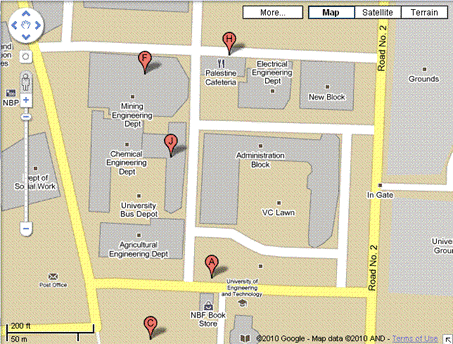
The car takes its basic course information from the user via a highly user-friendly Map such that, the user can simply click on a point on the map and the coordinates are automatically sent to the car for navigation. The Google Maps API that we’ll be using in our application works basically on a Javascript controlled function set such that, upon clicking a specific point, it provides us with the Longitude and Latitude of that point. Thus, our custom application, which has been designed in Microsoft Visual C# will feature Javascript based browsing capabilities so it’ll navigate to the Google Maps website while providing it with our custom coordinates. Once the user clicks on a point, the coordinates of that point are taken, a path is determined from the target’s coordinates and the car’s current location, and then that path is supplied to the car for navigation. The car’s microcontroller will then try to move the car to the target point while avoiding any obstacles which may come in the way.
A basic profiling mechanism may also be integrated in the car’s controller such that a track of all the obstacles on a specific path is temporarily kept and reused in the future. Collision Detection will be performed using various sensors which will work in complete coordination, creating a multidimensional image at all times for increased accuracy.
While limited memory and processing on the car’s end may pose a problem, we have high hopes for overcoming this problem in the future by using more powerful controllers – one alternative may also be a “LIVE” controller: the controller resides on a remote, more powerful laptop computer and relays it’s decisions to the car via a wireless link and store the obstacle profiles. This, nevertheless, poses greater challenges in terms of wireless networking i.e. we’ll be needing an ultra fast wireless protocol which has a long range – perhaps in the future, with additional resources, we may accomplish our goal using an UWB or WiFi link for short-range and WiMAX for long ranged applications.
